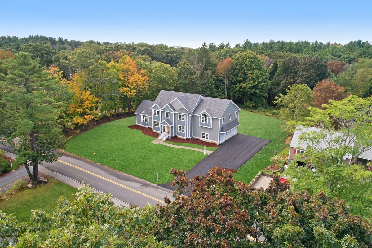
Photos from the ground are limited and boring. Our content captures not only the subject but all the surrounding areas next to it. Aerial photography always provides a competitive advantage in marketing.
Survey & Mapping w/ RTK
Using advanced software in coordination with ground control points measured via RTK, we provide 3D maps that are fast, cost effective, and accurate to the millimeter.
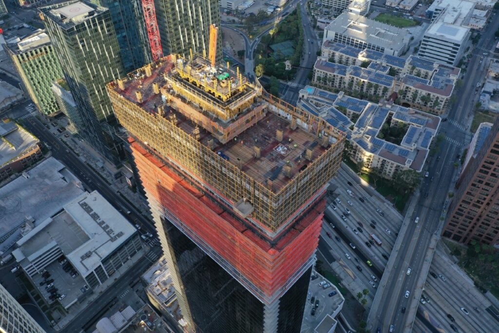
Construction
Monitor progress, calculate volume, and improve safety conditions by safely inspecting the project site remotely. We provide a visual history so clients can monitor progress of the project over time.
About us
Our company aims to provide high quality professional aerial footage and video for all your needs. We employ only FAA Licensed pilots with Part 107 Licenses to insure that all of the content you requested is captured legally. Please contact us so we can discuss with you what your needs are so that we can come up with a plan together in creating your beautiful jaw dropping content.
Talk to us
Have any questions? We are always open to talk about your business, new projects, creative opportunities and how we can help you.